Bad data doesn't announce itself.
It shows up weeks later, in a survey you already delivered. Drop an observation file — six seconds, no install, no account — and know whether it's usable before you build anything on it.
See how the verdict is calculatedQuick check, no account
One observation file: is this data worth processing, and what would stop it? You get a verdict, the score and up to three findings. The full report, the download and the next step need a free account.
One file up to 100 MB (20 MB gzipped), ten checks per day. The file is deleted as soon as the result is ready.
No file to hand? Check a public reference station's daily observation instead.
A result you can inspect, not a promise.
The bundled DUND sample scored 79.5 (Good) in Fast Mode: all epochs were present across 122 satellites in 5 constellations (GPS, GLONASS, Galileo, BeiDou, QZSS); multipath scored 29/30, and cycle slips scored 10.5/30. Its sampling interval is 30 seconds. Open the bundled example in the free quality check for the latest computed result.
How this verdict is calculatedThree ways to finish the job.
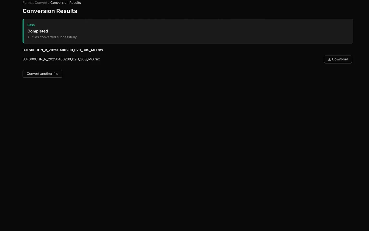
Format conversion
Turn receiver logs into clean RINEX observations without maintaining vendor utilities.
Convert a file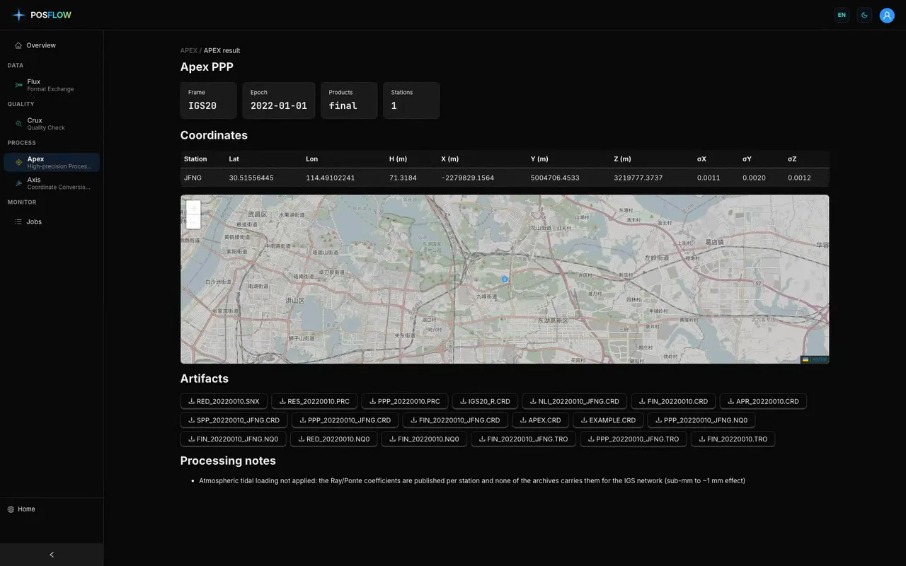
Precise positioning
Run PPP, PPK, or a network solution with inputs, reference frame, and deliverables kept together.
Choose a solution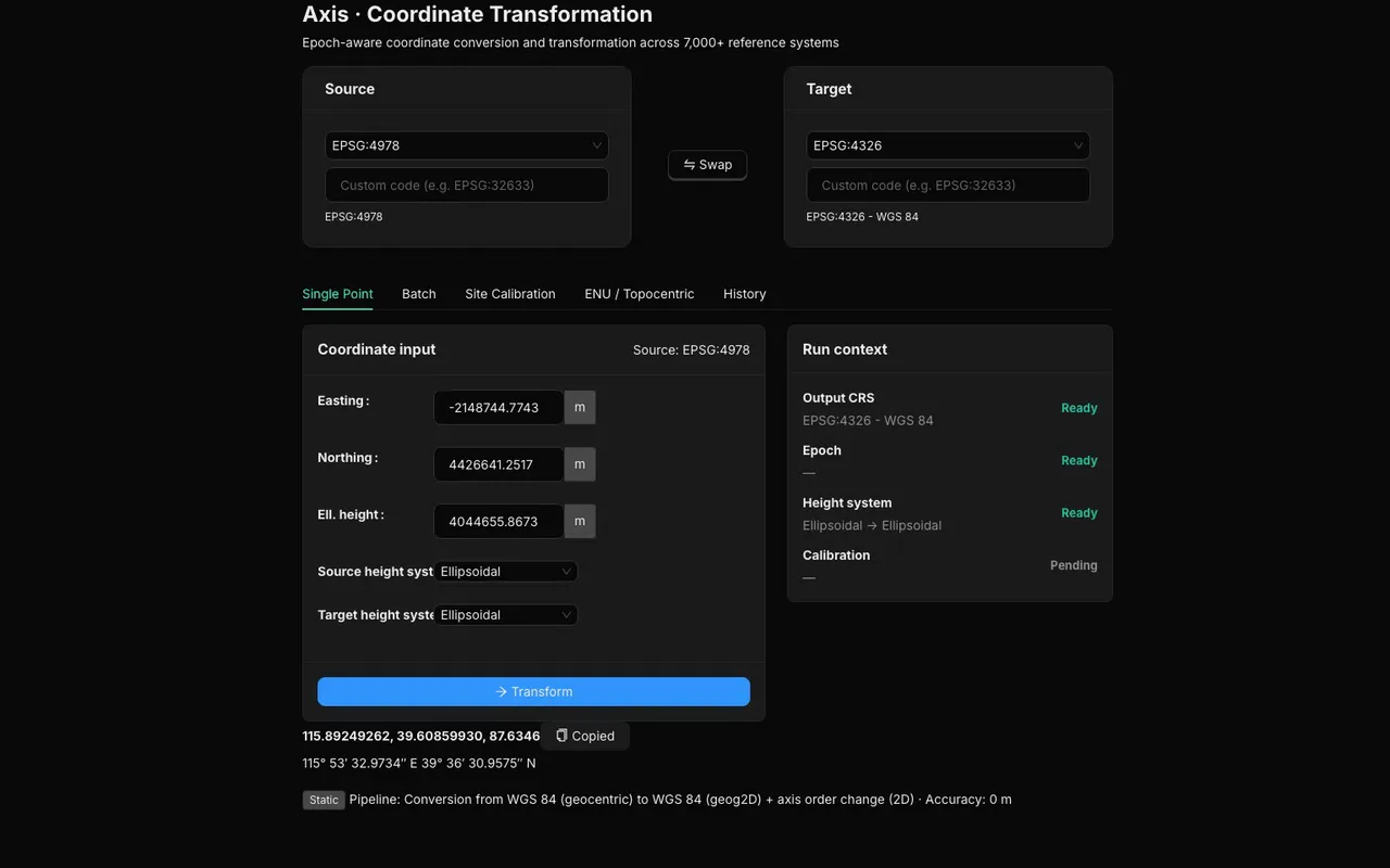
Coordinate transformation
Move a point or a batch into the datum and projection your deliverable actually requires.
Transform coordinatesConfidence should have a second opinion.
Precise positioning can be cross-checked by two independent scientific-grade geodetic engines. Agreement is measured point by point instead of inferred from one engine's confidence.
Here's how often we fail.
These published 30-day completion rates include files the engines could not solve. They are a dated operating snapshot, not a guarantee.
Live reliability readings load when you open this page.
Success rate = completed ÷ (completed + failed). Only retained tasks submitted in the last 30 days are counted; queued and running tasks are excluded. Restarts replace earlier attempts, and deleted tasks are absent. Median time covers completed tasks with valid start/end times, excluding queue time. Readings are cached for five minutes; reload for a newer snapshot. Conversion and coordinate jobs are not included.
Infrastructure failure is refunded. Credit-hold positioning failures release their reserved credits. Legacy runs refund recognized infrastructure failures and pre-compute input rejections, but keep other charges. See the full boundaries and timing below.
Result files are deleted. Free results are kept 30 days, Pro results 90 days, and Business results 365 days. Cleanup runs daily at 04:45 UTC. The stored outputs are removed on that schedule. The task itself stays in your history as an expired entry, so you can see what ran and when.
Receiver inputs
Data standards
Reference systems
Frequently Asked Questions
What is PosFlow and what does it do?
PosFlow (https://posflow.ai) is a cloud-native GNSS data processing platform that integrates four precision geodetic tools into a single browser workspace. Flux converts raw receiver logs (u-blox UBX, Septentrio SBF, Trimble, Leica, Topcon, NovAtel, Javad) to standard RINEX 2/3/4. Crux scores RINEX observation files 0–100 for quality using completeness, cycle-slip, multipath (MP1/MP2/MP5), and SNR metrics across all 5 global GNSS constellations. Apex computes cloud-based PPP (static and kinematic) and PPK baselines using IGS, CODE, and GFZ precise orbits. Axis transforms coordinates between WGS84, CGCS2000, ITRF, ETRS89, UTM, and Gauss-Krüger grids with published EPSG parameter lineage.
Which GNSS constellations and raw receiver formats are supported?
PosFlow supports all 5 global and regional GNSS constellations: GPS (L1/L2/L5), GLONASS (G1/G2/G3), Galileo (E1/E5a/E5b/E6), BeiDou BDS-2 and BDS-3 (B1I/B1C/B2a/B2b/B3I), and QZSS. Raw receiver input includes u-blox (.ubx), Septentrio (.sbf), Trimble (.dat/.t02), Leica (.mdb), Topcon/Javad (.tps/.jps), and NovAtel OEM7. Output formats cover RINEX 2.11, 3.02, 3.04, 4.00, 4.02, and Hatanaka-compressed (.crx/.##d) with optional gzip. All observation types (code, carrier phase, Doppler, SNR) are preserved.
How does PosFlow compare to TEQC, RTKLIB, and national PPP services like OPUS?
TEQC was discontinued on 2019-02-25 and does not natively support RINEX 3/4, Galileo, BeiDou, or QZSS — checking a modern multi-GNSS file requires a lossy downgrade to RINEX 2. RTKLIB is powerful desktop software that requires local compilation, manual ephemeris downloads, and a Windows or Linux environment — and frequently crashes on 24-hour multi-frequency files. OPUS and CSRS-PPP are single-engine national agency services. PosFlow eliminates all these barriers: it runs entirely in a web browser with zero installation, automatically retrieves precise IGS orbit and clock products, and runs dual scientific engines with cross-validation for reliable geodetic deliverables.
Is there a free plan, and what does it include?
Yes. PosFlow's permanent Free plan requires no credit card and includes 25 credits per month: enough for 5 Fast Mode RINEX quality analyses or 1 Full Mode analysis, with a 100 MB per-file limit. All four QC engines (Fast, Flash, Full, TEQC-compatible), full downloadable PDF and CSV reports, and format conversion via Flux are available on the Free plan. Apex (precise positioning) requires a Pro plan at $49/month or $490/year.